
Thank you for supporting this site ❤️
Make a donation
Make a donation
Rodney topographic map
Click on the map to display elevation.
Thank you for supporting this site ❤️
Make a donation
Make a donation
About this map
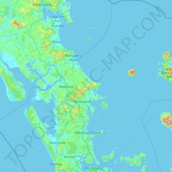
Name: Rodney topographic map, elevation, terrain.
Location: Rodney, Auckland, New Zealand (-36.87945 173.89633 -35.69839 175.26568)
Average elevation: 27 m
Minimum elevation: -1 m
Maximum elevation: 851 m
Thank you for supporting this site ❤️
Make a donation
Make a donation
Other topographic maps
Click on a map to view its topography, its elevation and its terrain.