
Thank you for supporting this site ❤️
Make a donation
Make a donation
Kanohi topographic map
Click on the map to display elevation.
Thank you for supporting this site ❤️
Make a donation
Make a donation
About this map
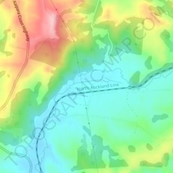
Name: Kanohi topographic map, elevation, terrain.
Location: Kanohi, Rodney, Auckland, 0843, New Zealand (-36.60321 174.48984 -36.58321 174.50984)
Average elevation: 75 m
Minimum elevation: 11 m
Maximum elevation: 190 m
Thank you for supporting this site ❤️
Make a donation
Make a donation
Other topographic maps
Click on a map to view its topography, its elevation and its terrain.