
天池山 topographic map
Interactive map
Click on the map to display elevation.
About this map
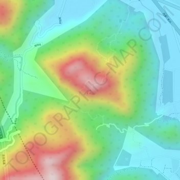
Name: 天池山 topographic map, elevation, terrain.
Location: 天池山, 福州市, 福建省, 中国 (25.80079 119.57542 25.80089 119.57552)
Average elevation: 167 m
Minimum elevation: 0 m
Maximum elevation: 472 m
Other topographic maps
Click on a map to view its topography, its elevation and its terrain.