
刘地村 topographic map
Interactive map
Click on the map to display elevation.
About this map
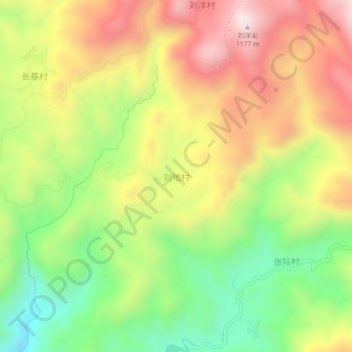
Name: 刘地村 topographic map, elevation, terrain.
Location: 刘地村, 福州市, 福建省, 中国 (26.38725 118.97533 26.42725 119.01533)
Average elevation: 779 m
Minimum elevation: 438 m
Maximum elevation: 1,140 m
Other topographic maps
Click on a map to view its topography, its elevation and its terrain.