
Edgeley topographic map
Interactive map
Click on the map to display elevation.
About this map
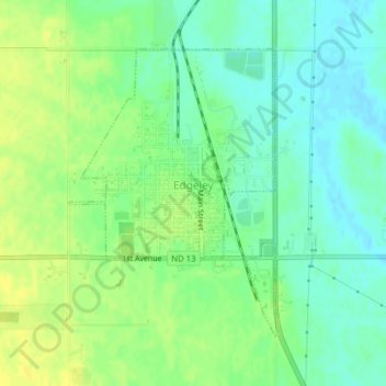
Name: Edgeley topographic map, elevation, terrain.
Location: Edgeley, LaMoure County, North Dakota, 58433, United States (46.34968 -98.72470 46.36990 -98.70369)
Average elevation: 475 m
Minimum elevation: 465 m
Maximum elevation: 485 m
Other topographic maps
Click on a map to view its topography, its elevation and its terrain.
Dean Township
United States > North Dakota > LaMoure County
Dean Township, LaMoure County, North Dakota, United States
Average elevation: 425 m