
Jojawar topographic map
Interactive map
Click on the map to display elevation.
About this map
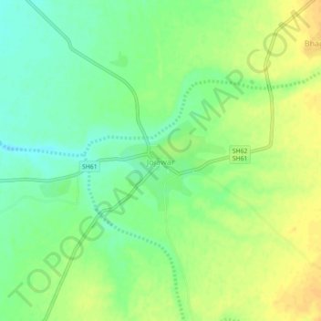
Name: Jojawar topographic map, elevation, terrain.
Location: Jojawar, Marwar Junction Tehsil, Pali, Rajasthan, India (25.51104 73.71977 25.55104 73.75977)
Average elevation: 326 m
Minimum elevation: 312 m
Maximum elevation: 339 m
Other topographic maps
Click on a map to view its topography, its elevation and its terrain.
Auwa
India > Rajasthan > Marwar Junction Tehsil
Auwa, Marwar Junction Tehsil, Pali, Rajasthan, 306021, India
Average elevation: 283 m