
Thank you for supporting this site ❤️
Make a donation
Make a donation
Auwa topographic map
Click on the map to display elevation.
Thank you for supporting this site ❤️
Make a donation
Make a donation
About this map
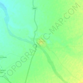
Name: Auwa topographic map, elevation, terrain.
Location: Auwa, Marwar Junction Tehsil, Pali, Rajasthan, 306021, India (25.60818 73.61531 25.64818 73.65531)
Average elevation: 283 m
Minimum elevation: 272 m
Maximum elevation: 293 m
Thank you for supporting this site ❤️
Make a donation
Make a donation