
Underhus (Wernetshausen) topographic map
Interactive map
Click on the map to display elevation.
About this map
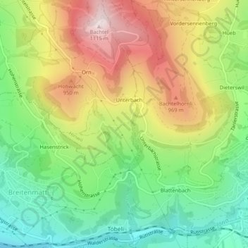
Name: Underhus (Wernetshausen) topographic map, elevation, terrain.
Location: Underhus (Wernetshausen), Hinwil, Bezirk Hinwil, Zürich, Schweiz (47.28312 8.88877 47.28398 8.89093)
Average elevation: 783 m
Minimum elevation: 531 m
Maximum elevation: 1,112 m
Other topographic maps
Click on a map to view its topography, its elevation and its terrain.
Bachtel
Schweiz > Zürich > Bezirk Hinwil > Hinwil
Bachtel, Hinwil, Bezirk Hinwil, Zürich, 8342, Schweiz
Average elevation: 868 m