
Teck topographic map
Interactive map
Click on the map to display elevation.
About this map
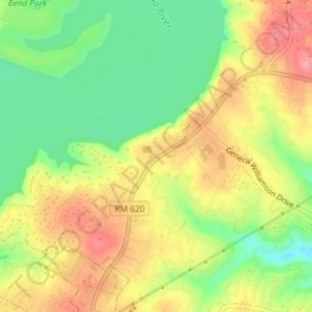
Name: Teck topographic map, elevation, terrain.
Location: Teck, Travis, Texas, 78734, Vereinigte Staaten von Amerika (30.38038 -97.95002 30.40038 -97.93002)
Average elevation: 230 m
Minimum elevation: 179 m
Maximum elevation: 281 m
Other topographic maps
Click on a map to view its topography, its elevation and its terrain.
Austin
Vereinigte Staaten von Amerika > Texas > Travis
Austin, Travis, Texas, Vereinigte Staaten von Amerika
Average elevation: 216 m