
Oberwinterthur topographic map
Interactive map
Click on the map to display elevation.
About this map
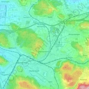
Name: Oberwinterthur topographic map, elevation, terrain.
Location: Oberwinterthur, Winterthur, Bezirk Winterthur, Zürich, Schweiz (47.47877 8.73381 47.54800 8.80994)
Average elevation: 482 m
Minimum elevation: 421 m
Maximum elevation: 676 m
Other topographic maps
Click on a map to view its topography, its elevation and its terrain.
Lindberg
Schweiz > Zürich > Bezirk Winterthur > Winterthur
Lindberg, Winterthur, Bezirk Winterthur, Zürich, 8404, Schweiz
Average elevation: 482 m