
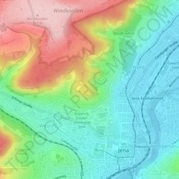
Landgraf topographic map
Interactive map
Click on the map to display elevation.
About this map
Name: Landgraf topographic map, elevation, terrain.
Location: Landgraf, West, Jena-West, Jena, Turíngia, 07743, Alemanha (50.92721 11.56985 50.94721 11.58985)
Average elevation: 221 m
Minimum elevation: 140 m
Maximum elevation: 364 m
Other topographic maps
Click on a map to view its topography, its elevation and its terrain.