
Jena topographic map
Interactive map
Click on the map to display elevation.
About this map
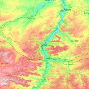
Name: Jena topographic map, elevation, terrain.
Location: Jena, Turíngia, 07743, Alemanha (50.76817 11.42794 51.08817 11.74794)
Average elevation: 289 m
Minimum elevation: 121 m
Maximum elevation: 524 m
Other topographic maps
Click on a map to view its topography, its elevation and its terrain.