
Marj as Sultan topographic map
Interactive map
Click on the map to display elevation.
About this map
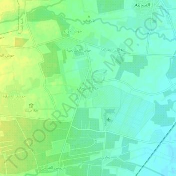
Name: Marj as Sultan topographic map, elevation, terrain.
Average elevation: 621 m
Minimum elevation: 612 m
Maximum elevation: 631 m
Other topographic maps
Click on a map to view its topography, its elevation and its terrain.
Qara
Syrie > Gouvernorat de Rif Dimachq
Qara, ناحية دير عطية, منطقة النبك, Gouvernorat de Rif Dimachq, Syrie
Average elevation: 1,276 m
Mintaqat az Zabadan
Syrie > Gouvernorat de Rif Dimachq
Mintaqat az Zabadan, ناحية عين الفجة, منطقة قدسيا, Gouvernorat de Rif Dimachq, Syrie
Average elevation: 680 m
منطقة النبك
Syrie > Gouvernorat de Rif Dimachq
منطقة النبك, Gouvernorat de Rif Dimachq, Syrie
Average elevation: 1,359 m
Zabadani
Syrie > Gouvernorat de Rif Dimachq
Zabadani, ناحية الزبداني, منطقة الزبداني, Gouvernorat de Rif Dimachq, Syrie
Average elevation: 1,429 m