
Mutshatsha topographic map
Interactive map
Click on the map to display elevation.
About this map
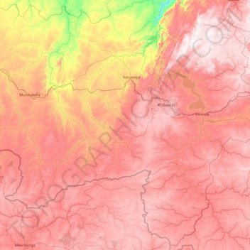
Name: Mutshatsha topographic map, elevation, terrain.
Location: Mutshatsha, Lualaba, Democratic Republic of the Congo (-11.73675 24.10165 -9.98658 25.94487)
Average elevation: 1,315 m
Minimum elevation: 760 m
Maximum elevation: 1,704 m
Other topographic maps
Click on a map to view its topography, its elevation and its terrain.