
Thank you for supporting this site ❤️
Make a donation
Make a donation
Riceford topographic map
Click on the map to display elevation.
Thank you for supporting this site ❤️
Make a donation
Make a donation
About this map
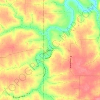
Name: Riceford topographic map, elevation, terrain.
Location: Riceford, Houston County, Minnesota, United States (43.55608 -91.74682 43.59608 -91.70682)
Average elevation: 346 m
Minimum elevation: 286 m
Maximum elevation: 381 m
Thank you for supporting this site ❤️
Make a donation
Make a donation
Other topographic maps
Click on a map to view its topography, its elevation and its terrain.