
Moti topographic map
Interactive map
Click on the map to display elevation.
About this map
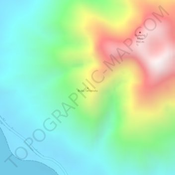
Name: Moti topographic map, elevation, terrain.
Location: Moti, Ternate, North Maluku, Indonesia (0.44995 127.39995 0.45005 127.40005)
Average elevation: 333 m
Minimum elevation: 0 m
Maximum elevation: 918 m
Other topographic maps
Click on a map to view its topography, its elevation and its terrain.
Moti Island
Indonesia > North Maluku > Ternate
Moti Island, Ternate, North Maluku, Indonesia
Average elevation: 146 m