
Iztapalapa topographic map
Interactive map
Click on the map to display elevation.
About this map
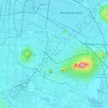
Name: Iztapalapa topographic map, elevation, terrain.
Location: Iztapalapa, Mexiko-Stadt, Mexiko (19.28496 -99.14002 19.40074 -98.96045)
Average elevation: 2,250 m
Minimum elevation: 2,222 m
Maximum elevation: 2,740 m
Other topographic maps
Click on a map to view its topography, its elevation and its terrain.
Mexiko-Stadt
Mexiko > Mexiko-Stadt > Mexiko-Stadt
Mexiko-Stadt, Cuauhtémoc, Mexiko-Stadt, 06060, Mexiko
Average elevation: 2,321 m