
Thank you for supporting this site ❤️
Make a donation
Make a donation
Tila topographic map
Click on the map to display elevation.
Thank you for supporting this site ❤️
Make a donation
Make a donation
About this map
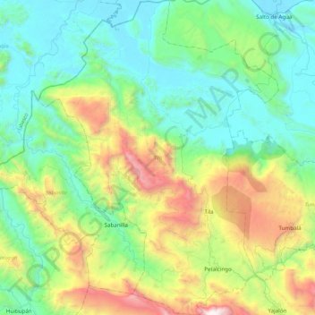
Name: Tila topographic map, elevation, terrain.
Location: Tila, Chiapas, Mexico (17.16565 -92.65929 17.57494 -92.33136)
Average elevation: 646 m
Minimum elevation: 8 m
Maximum elevation: 2,462 m
Thank you for supporting this site ❤️
Make a donation
Make a donation
Other topographic maps
Click on a map to view its topography, its elevation and its terrain.