
Naranag topographic map
Click on the map to display elevation.
About this map
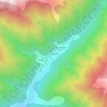
Name: Naranag topographic map, elevation, terrain.
Location: Naranag, Kangan, Ganderbal district, Jammu and Kashmir, India (34.33023 74.95212 34.37023 74.99212)
Average elevation: 2,736 m
Minimum elevation: 2,087 m
Maximum elevation: 3,742 m