
Chorla Ghat topographic map
Interactive map
Click on the map to display elevation.
About this map
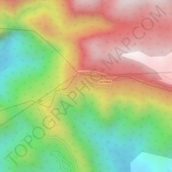
Name: Chorla Ghat topographic map, elevation, terrain.
Location: Chorla Ghat, NH748AA, Satari, North Goa, Goa, India (15.64958 74.11908 15.64968 74.11918)
Average elevation: 497 m
Minimum elevation: 151 m
Maximum elevation: 813 m
Other topographic maps
Click on a map to view its topography, its elevation and its terrain.