
Lakhond topographic map
Click on the map to display elevation.
About this map
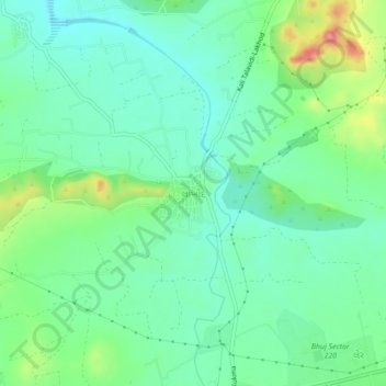
Name: Lakhond topographic map, elevation, terrain.
Location: Lakhond, Bhuj Taluka, Kachchh, Gujarat, 370105, India (23.23643 69.75720 23.27643 69.79720)
Average elevation: 109 m
Minimum elevation: 81 m
Maximum elevation: 176 m