
Hillenberg topographic map
Interactive map
Click on the map to display elevation.
About this map
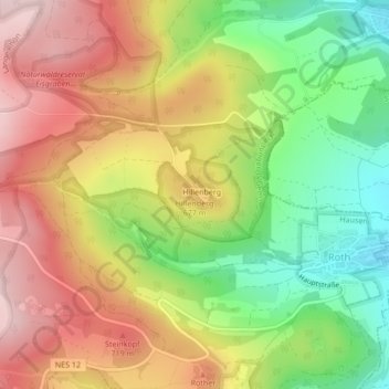
Name: Hillenberg topographic map, elevation, terrain.
Average elevation: 624 m
Minimum elevation: 467 m
Maximum elevation: 773 m
Other topographic maps
Click on a map to view its topography, its elevation and its terrain.
Hausen/Rhön
Deutschland > Bayern > Hausen > Hausen/Rhön
Hausen/Rhön, Hausen, Fladungen (VGem), Landkreis Rhön-Grabfeld, Bayern, 97650, Deutschland
Average elevation: 494 m
Hillenberg
Deutschland > Bayern > Hausen > Roth > Hillenberg
Hillenberg, Roth, Hausen, Fladungen (VGem), Landkreis Rhön-Grabfeld, Bayern, Deutschland
Average elevation: 616 m
Stirnberg
Deutschland > Bayern > Hausen
Stirnberg, Hausen, Fladungen (VGem), Landkreis Rhön-Grabfeld, Unterfranken, Bayern, Deutschland
Average elevation: 810 m