
Make a donation
Elgin topographic map
Click on the map to display elevation.
Make a donation
Elgin
Elgin is first documented in the Cartulary of Moray in 1190 AD. It was created a royal burgh in the 12th century by King David I of Scotland, and by that time had a castle on top of the present-day Lady Hill to the west of the town. The origin of the name Elgin is likely to be Celtic. It may derive from 'Aille' literally signifying beauty, but in topography a beautiful place or valley. Another possibility is 'ealg', meaning both 'Ireland' and 'worthy'. The termination 'gin' or 'in' are Celtic endings signifying little or diminutive forms, hence Elgin could mean beautiful place, worthy place or little Ireland.
Make a donation
About this map
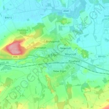
Name: Elgin topographic map, elevation, terrain.
Location: Elgin, Moray, Scotland, IV30 1EA, United Kingdom (57.60879 -3.35485 57.68879 -3.27485)
Average elevation: 26 m
Minimum elevation: -1 m
Maximum elevation: 125 m
Make a donation