
Jamesburg topographic map
Interactive map
Click on the map to display elevation.
About this map
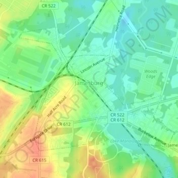
Name: Jamesburg topographic map, elevation, terrain.
Location: Jamesburg, Middlesex County, New Jersey, United States (40.34224 -74.45414 40.36098 -74.42316)
Average elevation: 25 m
Minimum elevation: 7 m
Maximum elevation: 49 m
Other topographic maps
Click on a map to view its topography, its elevation and its terrain.
Edison
United States > New Jersey > Middlesex County
Edison, Middlesex County, New Jersey, United States
Average elevation: 24 m