
Houyet topographic map
Interactive map
Click on the map to display elevation.
About this map
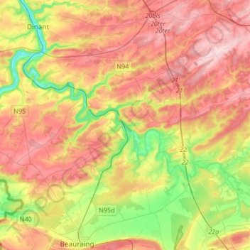
Name: Houyet topographic map, elevation, terrain.
Location: Houyet, Dinant, Namur, Wallonia, Belgium (50.13225 4.85234 50.25139 5.11989)
Average elevation: 215 m
Minimum elevation: 83 m
Maximum elevation: 341 m
Other topographic maps
Click on a map to view its topography, its elevation and its terrain.