
Josegiri topographic map
Interactive map
Click on the map to display elevation.
About this map
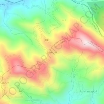
Name: Josegiri topographic map, elevation, terrain.
Location: Josegiri, Taliparamba, Kannur District, Kerala, India (12.25269 75.45074 12.29269 75.49074)
Average elevation: 415 m
Minimum elevation: 92 m
Maximum elevation: 829 m
Other topographic maps
Click on a map to view its topography, its elevation and its terrain.