
Netravali waterfall parking topographic map
Interactive map
Click on the map to display elevation.
About this map
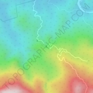
Name: Netravali waterfall parking topographic map, elevation, terrain.
Location: Netravali waterfall parking, Sanguem, South Goa, Goa, India (15.06288 74.23662 15.06298 74.23672)
Average elevation: 305 m
Minimum elevation: 90 m
Maximum elevation: 701 m
Other topographic maps
Click on a map to view its topography, its elevation and its terrain.