
Zuari topographic map
Interactive map
Click on the map to display elevation.
About this map
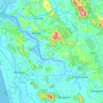
Name: Zuari topographic map, elevation, terrain.
Location: Zuari, Ilha de Rachol, Cotarli, Salcete, South Goa, Goa, India (15.23276 73.89630 15.41163 74.14917)
Average elevation: 48 m
Minimum elevation: -4 m
Maximum elevation: 435 m