
Mannar District topographic map
Interactive map
Click on the map to display elevation.
About this map
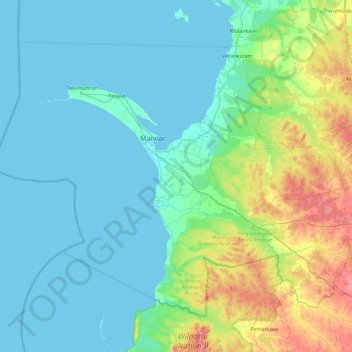
Name: Mannar District topographic map, elevation, terrain.
Location: Mannar District, Northern Province, Sri Lanka (8.52442 79.49249 9.23725 80.40247)
Average elevation: 21 m
Minimum elevation: -1 m
Maximum elevation: 113 m
Other topographic maps
Click on a map to view its topography, its elevation and its terrain.