
Budgam topographic map
Interactive map
Click on the map to display elevation.
About this map
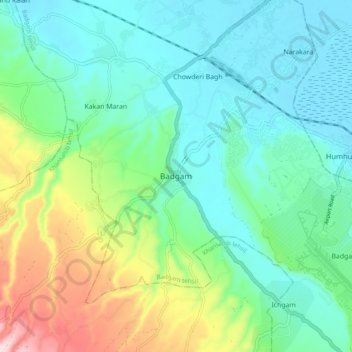
Name: Budgam topographic map, elevation, terrain.
Location: Budgam, Srīnagar, Badgam, Jammu and Kashmir, 191111, India (33.97547 74.68201 34.05547 74.76201)
Average elevation: 1,660 m
Minimum elevation: 1,582 m
Maximum elevation: 1,882 m