
Bhit Shah topographic map
Interactive map
Click on the map to display elevation.
About this map
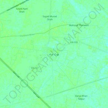
Name: Bhit Shah topographic map, elevation, terrain.
Location: Bhit Shah, Hyderābād District, Sindh, Pakistan (25.76417 68.45416 25.84417 68.53416)
Average elevation: 25 m
Minimum elevation: 20 m
Maximum elevation: 28 m