
Los Cabos topographic map
Interactive map
Click on the map to display elevation.
About this map
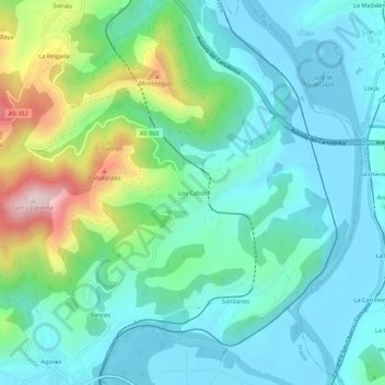
Name: Los Cabos topographic map, elevation, terrain.
Location: Los Cabos, Pravia, Asturies, 33404, Espagne (43.49396 -6.12012 43.53396 -6.08012)
Average elevation: 104 m
Minimum elevation: -5 m
Maximum elevation: 446 m