
Tauern topographic map
Interactive map
Click on the map to display elevation.
About this map
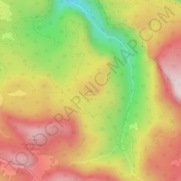
Name: Tauern topographic map, elevation, terrain.
Location: Tauern, Bad Ischl, Bezirk Gmunden, 4820, Österreich (47.67518 13.68615 47.67528 13.68625)
Average elevation: 1,041 m
Minimum elevation: 641 m
Maximum elevation: 1,362 m