
Thank you for supporting this site ❤️
Make a donation
Make a donation
La Jarosa topographic map
Click on the map to display elevation.
Thank you for supporting this site ❤️
Make a donation
Make a donation
About this map
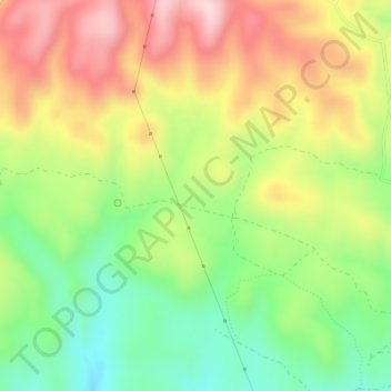
Name: La Jarosa topographic map, elevation, terrain.
Location: La Jarosa, Córdoba, Andalucía, España (37.90866 -4.94379 37.92866 -4.92379)
Average elevation: 422 m
Minimum elevation: 277 m
Maximum elevation: 588 m
Thank you for supporting this site ❤️
Make a donation
Make a donation
Other topographic maps
Click on a map to view its topography, its elevation and its terrain.