
Korpana topographic map
Interactive map
Click on the map to display elevation.
About this map
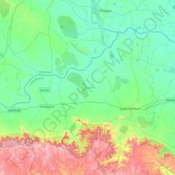
Name: Korpana topographic map, elevation, terrain.
Location: Korpana, Chandrapur, Maharashtra, India (19.65245 78.84060 19.90810 79.23400)
Average elevation: 264 m
Minimum elevation: 150 m
Maximum elevation: 576 m
Other topographic maps
Click on a map to view its topography, its elevation and its terrain.
Koradi
India > Maharashtra > Korpana
Koradi, Korpana, Chandrapur, Maharashtra, 442917, India
Average elevation: 205 m