Gandhigram(B.C Colony) topographic map
Interactive map
Click on the map to display elevation.
About this map
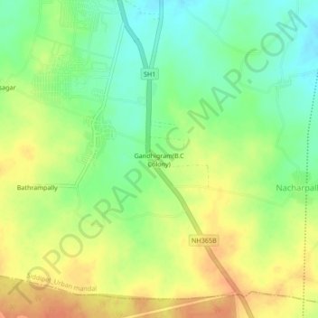
Name: Gandhigram(B.C Colony) topographic map, elevation, terrain.
Average elevation: 498 m
Minimum elevation: 476 m
Maximum elevation: 519 m

Click on the map to display elevation.
Name: Gandhigram(B.C Colony) topographic map, elevation, terrain.
Average elevation: 498 m
Minimum elevation: 476 m
Maximum elevation: 519 m