
Dahivad topographic map
Interactive map
Click on the map to display elevation.
About this map
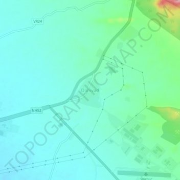
Name: Dahivad topographic map, elevation, terrain.
Location: Dahivad, Shirpur, Dhule, Maharashtra, 425438, India (21.32274 74.92440 21.36274 74.96440)
Average elevation: 185 m
Minimum elevation: 158 m
Maximum elevation: 300 m
Other topographic maps
Click on a map to view its topography, its elevation and its terrain.