
Thank you for supporting this site ❤️
Make a donation
Make a donation
Dinner Creek topographic map
Click on the map to display elevation.
Thank you for supporting this site ❤️
Make a donation
Make a donation
About this map
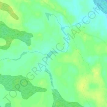
Name: Dinner Creek topographic map, elevation, terrain.
Location: Dinner Creek, Koochiching County, Minnesota, United States (47.97243 -93.99071 47.97299 -93.98817)
Average elevation: 396 m
Minimum elevation: 387 m
Maximum elevation: 404 m
Thank you for supporting this site ❤️
Make a donation
Make a donation