
驯乐苗族乡 topographic map
Interactive map
Click on the map to display elevation.
About this map
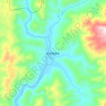
Name: 驯乐苗族乡 topographic map, elevation, terrain.
Location: 驯乐苗族乡, 环江毛南族自治县, 河池市, 广西壮族自治区, 中国 (25.35647 108.21805 25.43647 108.29805)
Average elevation: 552 m
Minimum elevation: 280 m
Maximum elevation: 1,257 m
Other topographic maps
Click on a map to view its topography, its elevation and its terrain.