
Thank you for supporting this site ❤️
Make a donation
Make a donation
Central Camp topographic map
Click on the map to display elevation.
Thank you for supporting this site ❤️
Make a donation
Make a donation
About this map
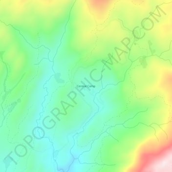
Name: Central Camp topographic map, elevation, terrain.
Location: Central Camp, Madera County, California, United States (37.32939 -119.50375 37.36939 -119.46375)
Average elevation: 1,745 m
Minimum elevation: 1,574 m
Maximum elevation: 2,074 m
Thank you for supporting this site ❤️
Make a donation
Make a donation