
Santo Stefano topographic map
Interactive map
Click on the map to display elevation.
About this map
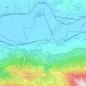
Name: Santo Stefano topographic map, elevation, terrain.
Location: Santo Stefano, BN, Campanie, 82034, Italie (41.18775 14.59152 41.22775 14.63152)
Average elevation: 255 m
Minimum elevation: 50 m
Maximum elevation: 1,159 m