
Bad Dürrnberg topographic map
Interactive map
Click on the map to display elevation.
About this map
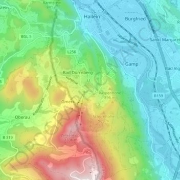
Name: Bad Dürrnberg topographic map, elevation, terrain.
Location: Bad Dürrnberg, Hallein, Salzburg, 5400, Österreich (47.63292 13.07686 47.68703 13.11571)
Average elevation: 734 m
Minimum elevation: 441 m
Maximum elevation: 1,397 m