
Linkeroever topographic map
Interactive map
Click on the map to display elevation.
About this map
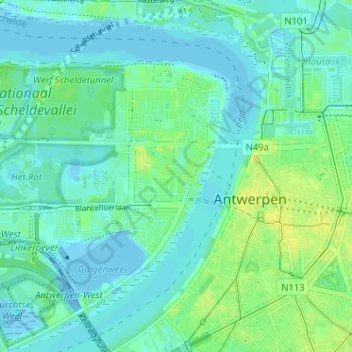
Name: Linkeroever topographic map, elevation, terrain.
Location: Linkeroever, Antwerpen, Flandern, 2050, Belgien (51.20366 4.36619 51.24366 4.40619)
Average elevation: 6 m
Minimum elevation: -11 m
Maximum elevation: 17 m
Other topographic maps
Click on a map to view its topography, its elevation and its terrain.