
Leuth topographic map
Interactive map
Click on the map to display elevation.
About this map
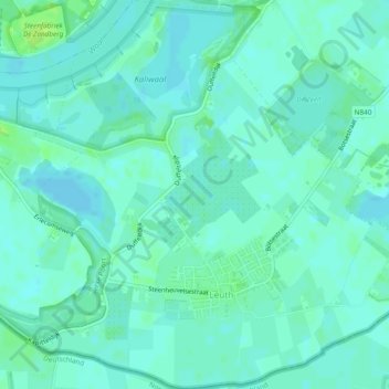
Name: Leuth topographic map, elevation, terrain.
Location: Leuth, Berg en Dal, Geldern, Niederlande (51.83061 5.96885 51.85995 6.01471)
Average elevation: 11 m
Minimum elevation: 7 m
Maximum elevation: 18 m
Other topographic maps
Click on a map to view its topography, its elevation and its terrain.
Heerlijkheid Beek
Niederlande > Geldern > Berg en Dal
Heerlijkheid Beek, Nijmegen-Oost, Nimwegen, Berg en Dal, Geldern, Niederlande
Average elevation: 44 m