
Sirra topographic map
Interactive map
Click on the map to display elevation.
About this map
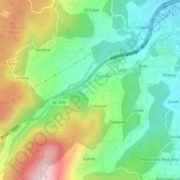
Name: Sirra topographic map, elevation, terrain.
Location: Sirra, Brión, Santiago, La Coruña, Galicia, 15280, España (42.83521 -8.70539 42.85521 -8.68539)
Average elevation: 177 m
Minimum elevation: 52 m
Maximum elevation: 391 m
Other topographic maps
Click on a map to view its topography, its elevation and its terrain.