
Meiningen topographic map
Interactive map
Click on the map to display elevation.
About this map
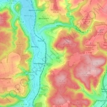
Name: Meiningen topographic map, elevation, terrain.
Average elevation: 394 m
Minimum elevation: 278 m
Maximum elevation: 499 m
Other topographic maps
Click on a map to view its topography, its elevation and its terrain.
Henneberg
Deutschland > Thüringen > Meiningen
Henneberg, Meiningen, Landkreis Schmalkalden-Meiningen, Thüringen, Deutschland
Average elevation: 427 m