
McGrath topographic map
Interactive map
Click on the map to display elevation.
About this map
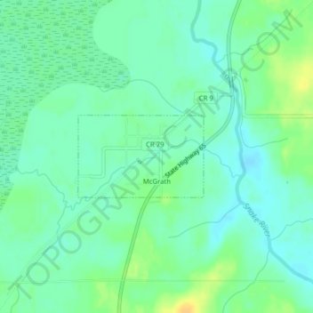
Name: McGrath topographic map, elevation, terrain.
Location: McGrath, Aitkin County, Minnesota, United States (46.23860 -93.28275 46.24573 -93.26705)
Average elevation: 379 m
Minimum elevation: 370 m
Maximum elevation: 396 m
Other topographic maps
Click on a map to view its topography, its elevation and its terrain.
Edna Lake
United States > Minnesota > Aitkin County
Edna Lake, Aitkin County, Minnesota, United States
Average elevation: 411 m