
Bhursa topographic map
Interactive map
Click on the map to display elevation.
About this map
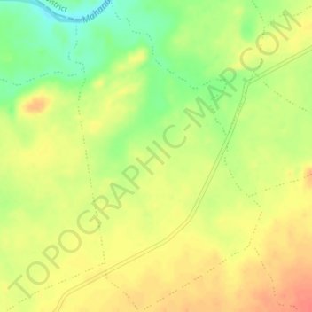
Name: Bhursa topographic map, elevation, terrain.
Location: Bhursa, Chandia Tahsil, Umaria District, Madhya Pradesh, India (23.54511 80.59524 23.57682 80.61683)
Average elevation: 421 m
Minimum elevation: 392 m
Maximum elevation: 442 m