
Bhatwadi topographic map
Interactive map
Click on the map to display elevation.
About this map
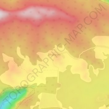
Name: Bhatwadi topographic map, elevation, terrain.
Location: Bhatwadi, Gargoti, Kolhapur, Maharashtra, India (16.09847 73.85953 16.13847 73.89953)
Average elevation: 668 m
Minimum elevation: 301 m
Maximum elevation: 876 m