
Gommiswald topographic map
Interactive map
Click on the map to display elevation.
About this map
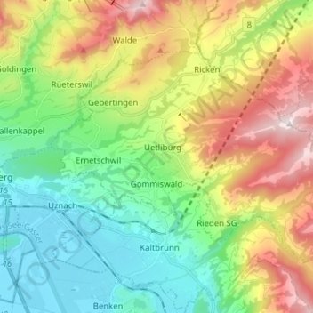
Name: Gommiswald topographic map, elevation, terrain.
Location: Gommiswald, Wahlkreis See-Gaster, Sankt Gallen, 8737, Schweiz (47.20919 8.98052 47.26759 9.10783)
Average elevation: 728 m
Minimum elevation: 404 m
Maximum elevation: 1,310 m